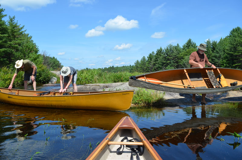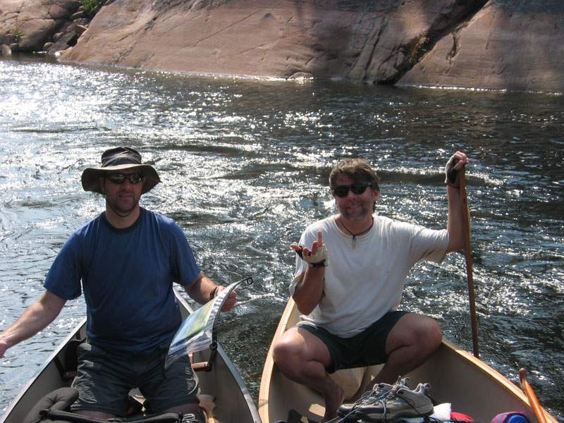
In the early days we would spend hours looking for a portage. I remember paddling the wrong way across a lake in high winds. For some reason when it’s windy, it is even harder to read landmarks and you can’t really stop to consult the map when you are in the thick of things.
Maps
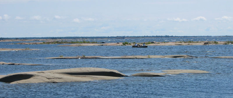
We definitely spent a long time consulting maps on the French River. At the time, portages, swifts and campsites were not marked. When we were out in Georgian Bay there were lots of little rock islands making it challenging to navigate. We tried to stay in the shelter of the rock to avoid the waves, which made navigation tricky. We did experienced some “canoe surfing” later in that day. You learn quick on a trip like that.
When we first started doing some longer back-country trips, we would take a photocopy of a map from a canoe route book. Bad idea! On one trip, we spent hours paddling around, then walking an ATV trail – just because what was once an island had been ‘reclaimed’ by the mainland, not something we were able to figure out with our photocopied map. We now get a good topographical map and have developed a smattering of map reading skills. We keep the map out in the canoe and use contour lines to follow along. We also make sure we have a good idea where we are going before we start out and consult the map often.
We now also have a GPS and plan out our route ahead of time, taking the time to mark campsites and portages on the map. We joke that all we do now is “follow the pink line”. However, even with the GPS, we keep the map out in the canoe as a backup; GPS in the stern and map in the bow.
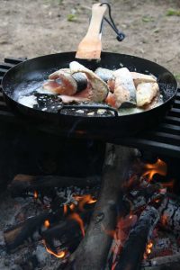
The other advantage of having a good map is being able to find little lakes off the main routes. We camp with someone who loves to fish and he explained that many of these little lakes have been stocked. The result – very yummy dinners. I don’t love fish enough to fish myself, however, there is something pretty amazing about fresh caught fish cooked on a campfire.
Mistakes Happen
Recently, on a short weekend trip to Secret Lake, we thought we knew where we were going and didn’t even take a map. We consulted the map at home and thought – that’s easy. Rookie Mistake! We were not expecting this marsh. On the map at home it “looks like” a small lake.
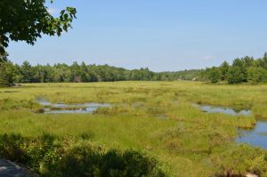
At the end of the first portage we tried to find the next portage sign, with no luck. So we just picked one of the two channels and started paddling. It turned out to be an easy and beautiful paddle, but we were embarrassed that we hadn’t taken a map or binoculars. We were a bit overconfident in our knowledge of the area and assumed that because it was such an easy trip, we didn’t need a map.
Maps are Just a Starting Place
In most cases, portages and campsites are marked with a sign. If it is well used, portages and campsites are obvious from the water. But keep your binoculars handy.
Some people don’t like the large portage signs; they find them offensive because they interfere with the natural beauty. However, in most parks, you will find large signs marking the way. On Crown Land you may not find any markers at all and will need to rely on your observational skills and a good map.
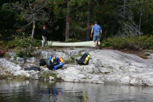
On a trip we did a few years ago there were two portage options on our map. One had a small lake about half way; the other option was a longer portage, but it was straight through to the destination lake. We opted for the portage that was straight through. Apparently very few paddlers make that decision, so the portage was no longer really a portage; it was a dreaded ATV trail.
Warning: ATV trails share and sometimes cross portages and you can easily take a wrong turn. We ended up going a long way before realizing that things didn’t look quite right. We stopped to check the GPS and realized we were walking away from our destination, not to mention we were standing beside a pile of bear poop. So we turned around.
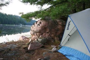
It was too late in the day to do the other portage, so we paddled back up the lake a short distance and found a rarely used campsite.
We have done the York River trip (near Bancroft Ontario) a couple of times. The first time we came upon a set of rapids near Boulter that wasn’t on the map. This would not have been a problem because we could hear the rapids; however, poor planning meant we arrived a dusk, the river was low, there were lots of rocks, and the portage wasn’t marked. Yet another lesson for us. So even with a map, watch for signs, listen for rapids, basically, you need to be observant. Learn what you can ahead of the trip.
Dry Summers and Beavers
A dry summer can change the location of portages. Last year we met a mom and her 12 your old son on a portage. They told us that their trip was extended by two portages because of low water levels. They were staying on Anderson Lake, which could not be reached from Copper Lake that year.
A few years ago we found a 30 meter portage had turned into a rugged 300 meter portage out of Vicary Lake because of low water levels. We only learned this by talking to the Rangers earlier in our trip. You can also ask at check-in or look for information on the signs in the parking area.
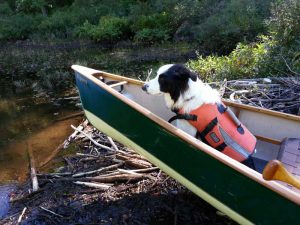
Beaver dams are never on maps, so if you are on a creek or river, you may find yourself at a “lift-over”.
You will need to decide whether to unload or just push the canoe up-and-over. Beaver dams are often deep, mucky and slippery – but usually fun. On small dams you can push the canoe over, on others you will want to remove some things. There is a lot of weight in a canoe and if the dam is large, the canoe can get suspended in the middle, causing damage to the canoe. In these cases, you may need to unload, which involves finding a dry place where things won’t roll into the muck.
To avoid a wet smelly dog, it is often easier to leave the dog in the canoe. We had a “dog incident” at a beaver dam lift-over years ago on our way into Cox Lake where everyone got wet. We have a dog now who does great at lift-overs, whether he is in or out of the canoe.
Small swifts are also often not on maps. You will need to line your canoe (letting the canoe flow down while you walk holding onto ropes). Alternatively, you can unload and lift the canoes over.
